How to Make Custom Color Ramps with QGIS
Have you ever run into the problem where default symbology options aren’t enough and you…
How to Find the Shape of a Python Tuple or List
Python tuples and lists are objects that contain multiple values and it is a common…
How to Make a False-Color Satellite Image in QGIS
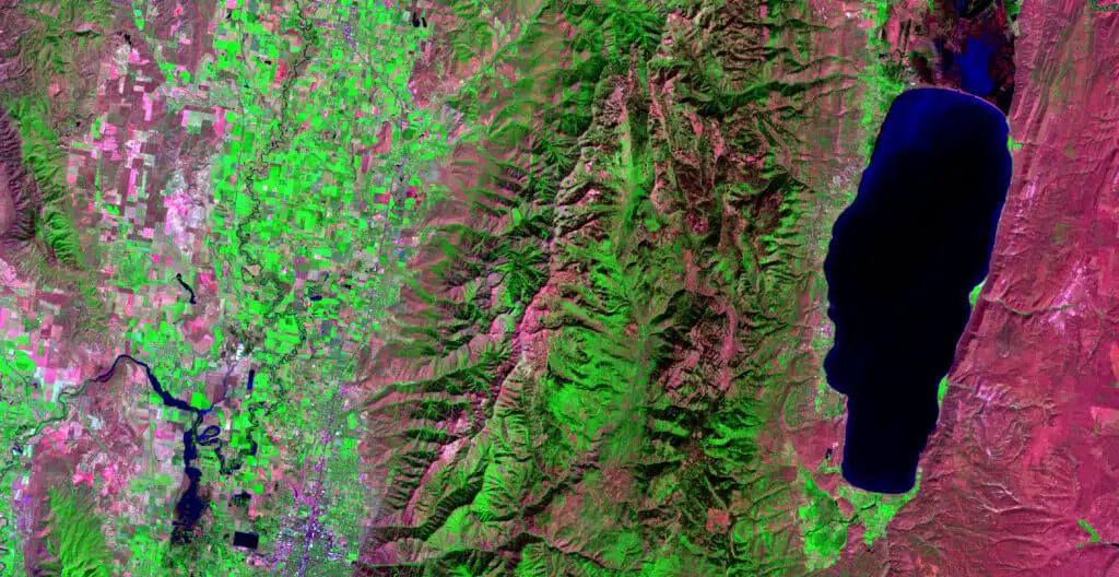
False-color satellite images can be very useful to visually analyze different landscape characteristics. They also…
Remote Sensing with QGIS: Calculate NDVI
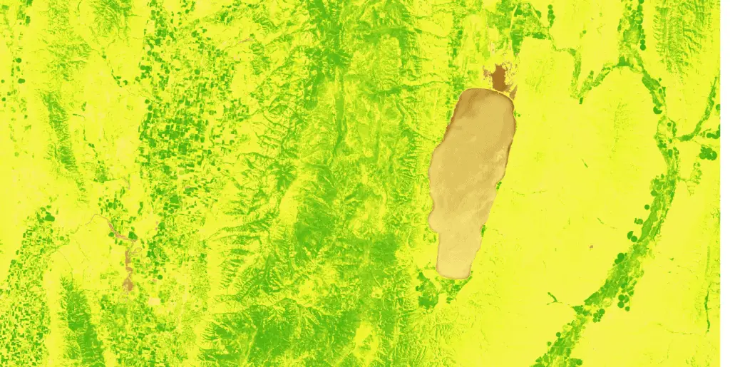
Vegetation indices are a staple remote sensing product and the normalized difference vegetation index (NDVI)…
Export QGIS Attribute Table to Excel and CSV
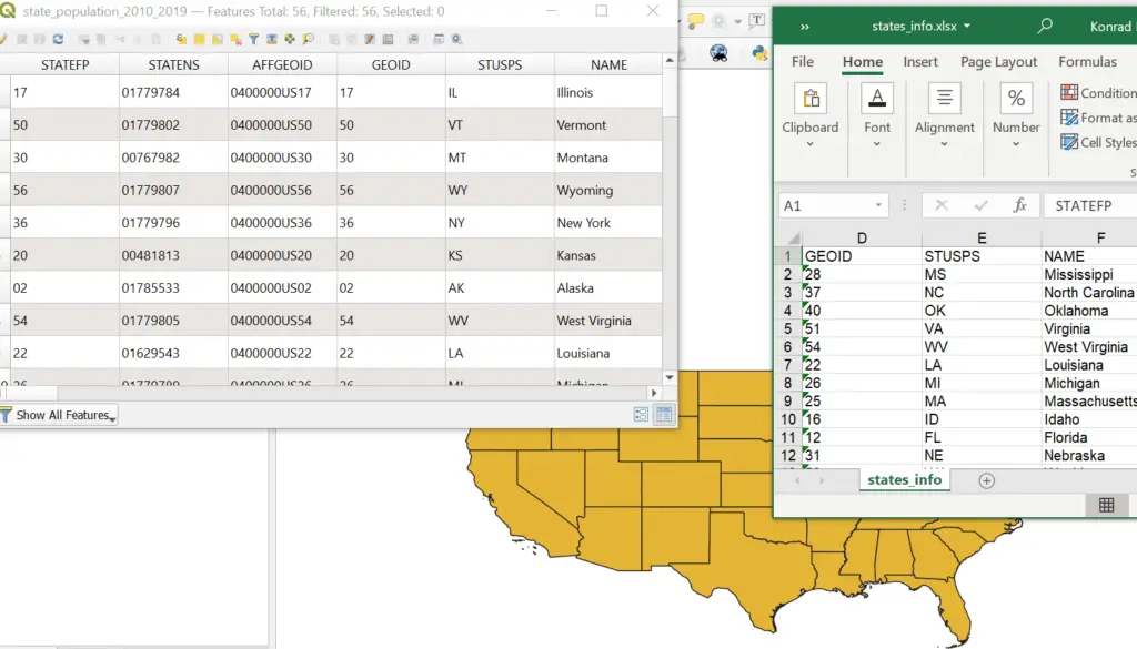
QGIS is great for analyzing spatial data but it’s often easier to export layer attributes…
Vectorize Moving Window Grid Operations on NumPy Arrays
There’s a good chance you’ve done something today that used a sliding window (also known…
Fill NumPy Arrays with numpy.fill and numpy.full
Filling NumPy arrays with a specific value is a typical task in Python. It’s common…
Use Python to Convert Polygons to Raster with GDAL.RasterizeLayer
When you work with spatial data it’s inevitable that you will need to implement information…
OpenLayers Introduction: Web Maps for Beginners
Learn to build a simple web map with the OpenLayers JavaScript library. This tutorial will…
PyQGIS: Dissolve Vector Features with Python and QGIS
The QGIS Python API (PyQGIS) makes it really simple automate a feature dissolve. PyQGIS gives…
Zonal Statistics Algorithm with Python in 4 Steps
It is a common need to summarize information from a gridded dataset within an irregularly…
How to Generate Passive Income with Online Courses
Everyone is good at something. With creativity and determination (and maybe some marketing) others will…
Create NetCDF Files with Python
Gridded, spatial data are commonly stored in NetCDF files. This is especially true for climate…
Unsupervised Land Cover Classification with Python
Aerial imagery is used for purposes ranging from military actions to checking out the backyard…
Parallel Programming in Python with Message Passing Interface (mpi4py)
Did you know you can write parallel Python code that will run on your laptop…
Asynchronous Parallel Programming in Python with Multiprocessing
A flexible method to speed up code on a personal computer Do you wish your…
4 Reasons to Use Open Source Software for your Business and Yourself
Most popular computer programs have free alternatives. Switching to these free programs could save you…
NetCDF with Python (netCDF4): Metadata, Dimensions, and Variables
Important information describing the data contained in netCDF files is embedded directly in the netCDF…
Intro to NetCDF with Python (netCDF4)
Many geographic data are store in netCDF format. This is especially true for climate data….
Python: Geographic Object-Based Image Analysis (GeOBIA) – Part 2: Image Classification
Use the random forests algorithm to classify image segments into land cover categories. This post…
PyQGIS: Clip Vector Layers
It is very simple to clip vector layers with PyQGIS. This tutorial will demonstrate how…
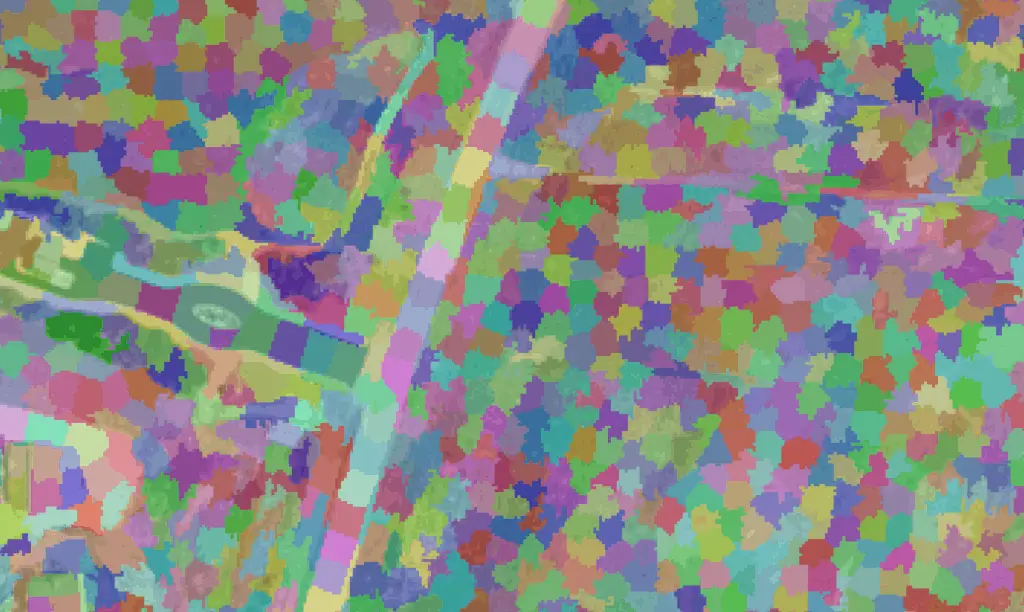
Python: Geographic Object-Based Image Analysis (GeOBIA) – Part 1: Image Segmentation
This tutorial will walk you through segmenting and classifying high resolution imagery using Python. Part…
PyQGIS: Measure the Distance Between Geometries
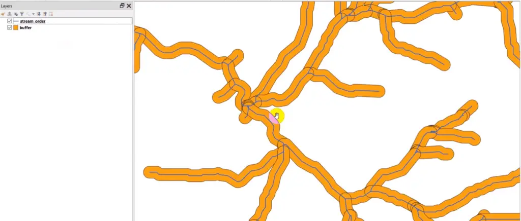
PyQGIS: Buffer Geometries
PyQGIS: Shapefile from Selected Features
A common operation with vector layers is to select features based on attribute values and…
PyQGIS: Create a Shapefile
In this tutorial, we’ll walk through how to create a shapefile from scratch with the…
PyQGIS: Create and Print a Map Layout with Python
With the PyQGIS API you are able to use Python in QGIS to automate the…
PyQGIS: Render (Print/Save) a Layer as an Image
This tutorial will teach you how to render (print or save) a QGIS layer as…
PyQGIS: Create Raster
In a previous tutorial I showed you how to access raster values and data with…
PyQGIS: Get Raster Data with GDAL
PyQGIS has some methods for accessing single values in a raster, but the best way…

