How to Create a DEM (or Raster) from a Lidar Point Cloud
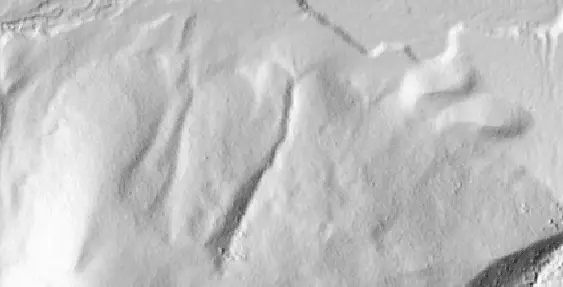
Lidar data are 3D point clouds that can describe Earth’s surface in great detail. However, lidar point clouds present some challenges because of how much data they contain. One fundamental challenge with lidar data is how to effectively extract the points that represent the Earth’s surface (not vegetation, building, or other objects) and create a…