Interactive Split-Screen Map with Python
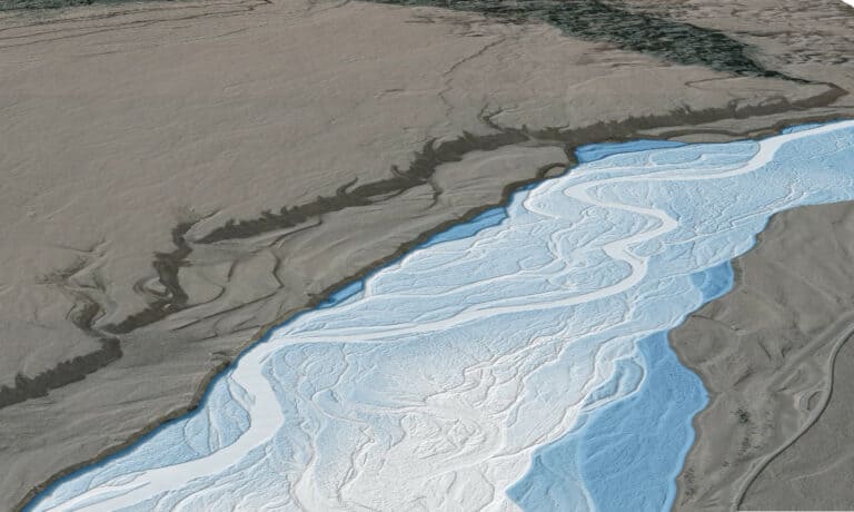
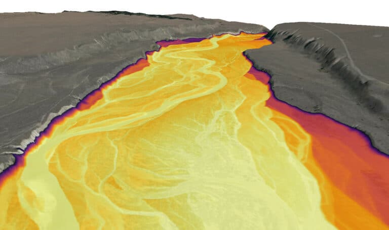
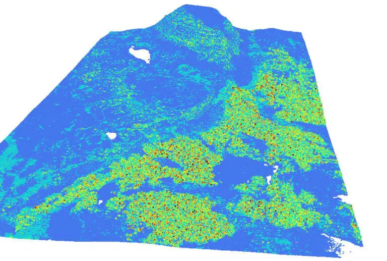
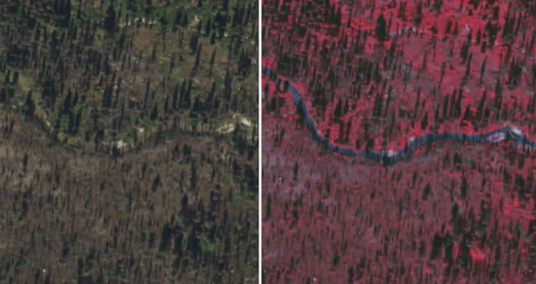
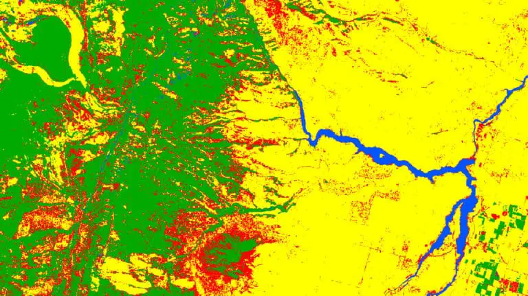
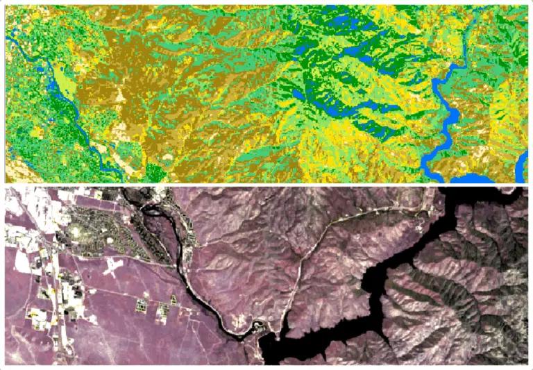
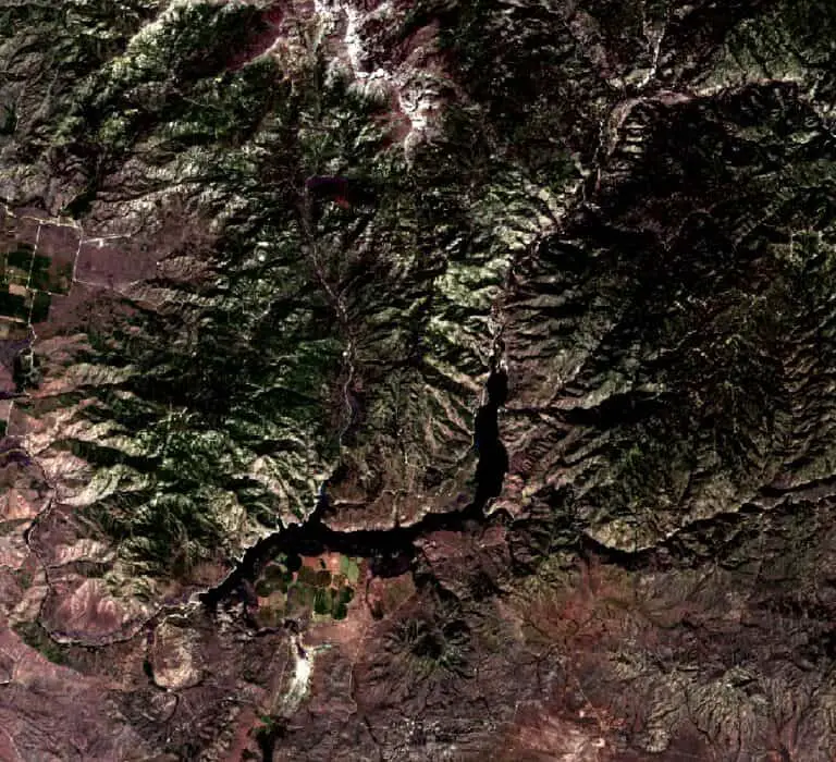
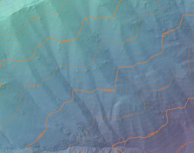
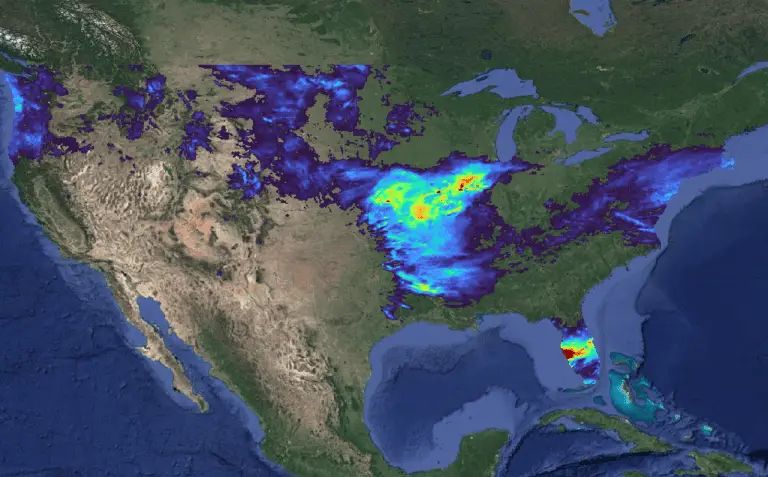
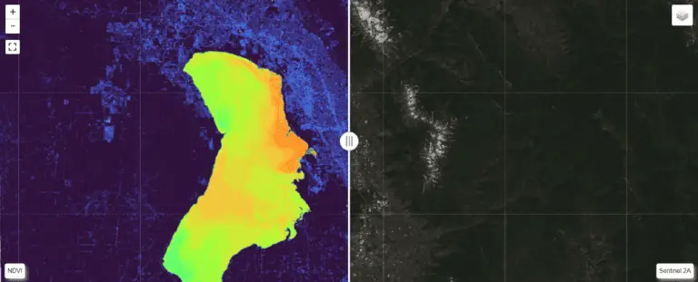
leafmap_split Visualizing raster data is important for assessing the results of analysis and models. One of the best ways to visualize raster data is to plot it on a map where you can interact with the raster data an other relevant layers. When performing analysis in Python, it can be difficult to create an interactive…