Remote Sensing Analysis with QGIS
| |

Remote Sensing Analysis with QGIS

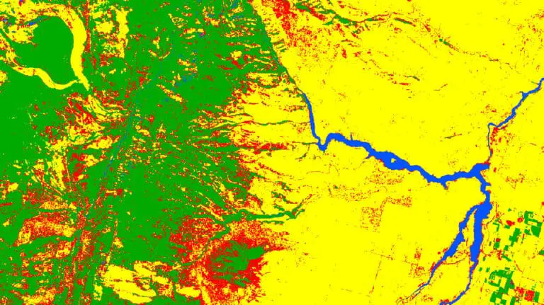
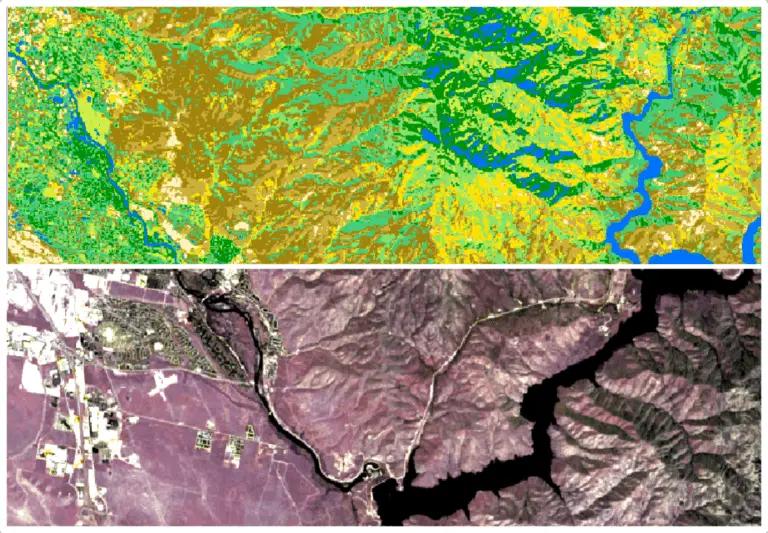
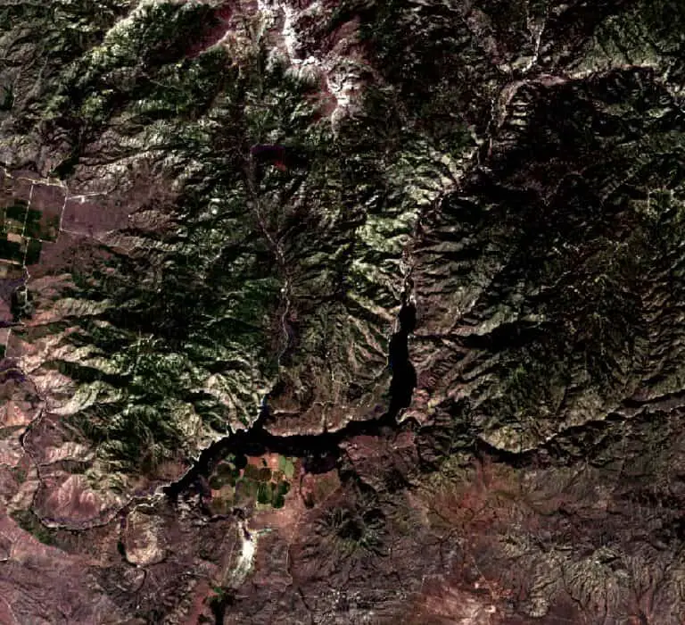
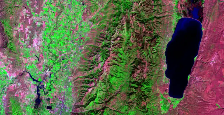
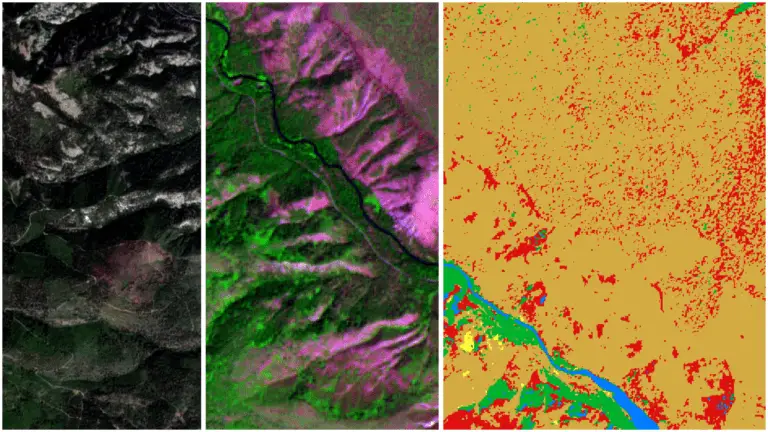
In geographic information science (GIS), remote sensing is the act of acquiring information about the features of the Earth’s surface from a distance. Remotely sensed data are acquired from many different platforms including, satellites, aircraft, and fixed instruments with many different sensors including, spectral imagery (cameras), lidar, and radar. The most common form of remotely…

Supervised Image Classification with QGIS
| |

Supervised Image Classification with QGIS

Image classification techniques are at the heart of modern remote sensing. Image classification is a method of extracting usable information from images. Without classification, images are just a collection of numbers that represent colors and it’s very difficult to obtain any quantifiable information about a landscape from data like that. With remote sensing techniques, we…

Unsupervised Image Classification with QGIS
| |

Unsupervised Image Classification with QGIS

Image classification is the process of using numerical methods to automate the identification of objects in images and is a common method to interpret satellite imagery. With vast amounts of satellite imagery being collected every day it is next to impossible to manually classify satellite images for their many purposes. Instead we rely on numerical…

How to Download Landsat and Sentinel Images for Free
| |

How to Download Landsat and Sentinel Images for Free

Satellite images are important data sources for many remote sensing and GIS analyses. Today many different satellites circle the globe and collect various image types. Images from many of these satellite platforms are available free of charge. This tutorial will demonstrate how to download images from the Landsat (Landsat 9) and Sentinel (Sentinel 2) satellites…

How to Make a False-Color  Satellite Image in QGIS
|

How to Make a False-Color Satellite Image in QGIS

False-color satellite images can be very useful to visually analyze different landscape characteristics. They also look really cool and are used to make very artistic maps and displays. False-color satellite images are created by displaying different band combinations with different colors. For example, a color near-infrared image is created by displaying data from the near-infrared…

Remote Sensing with QGIS: Calculate NDVI
|

Remote Sensing with QGIS: Calculate NDVI

Vegetation indices are a staple remote sensing product and the normalized difference vegetation index (NDVI) may be the most widely used vegetation index. To calculate NDVI you simply need appropriate imagery and a program that allows you to interact with the image data. QGIS is a great, free option for a GIS program that provides…

Unsupervised Land Cover Classification with Python
| | |

Unsupervised Land Cover Classification with Python

Aerial imagery is used for purposes ranging from military actions to checking out the backyard of a house you might buy. Our human brains can easily identify features in these photographs, but it’s not as simple for computers. Automated analysis of aerial imagery requires classification of each pixel into a land cover type. In other…

Python: Geographic Object-Based Image Analysis (GeOBIA) – Part 2: Image Classification
| | | |

Python: Geographic Object-Based Image Analysis (GeOBIA) – Part 2: Image Classification

Use the random forests algorithm to classify image segments into land cover categories. This post is a continuation of Geographic Object-Based Image Analysis (GeOBIA). Herein, we use data describing land cover types to train and test the accuracy of a random forests classifier. Land cover data were created in the previous post. Step-be-step video instructions…

Python: Geographic Object-Based Image Analysis (GeOBIA) – Part 1: Image Segmentation
| | | |

Python: Geographic Object-Based Image Analysis (GeOBIA) – Part 1: Image Segmentation

This tutorial will walk you through segmenting and classifying high resolution imagery using Python. Part 1 of this tutorial teaches how to segment images with Python. After you have completed Part 1, Part 2 will teach how to use machine learning methods to classify segments into land cover types with Python. YouTube videos give step-by-step…