Download and Display Lidar Data for the United States
|

Download and Display Lidar Data for the United States

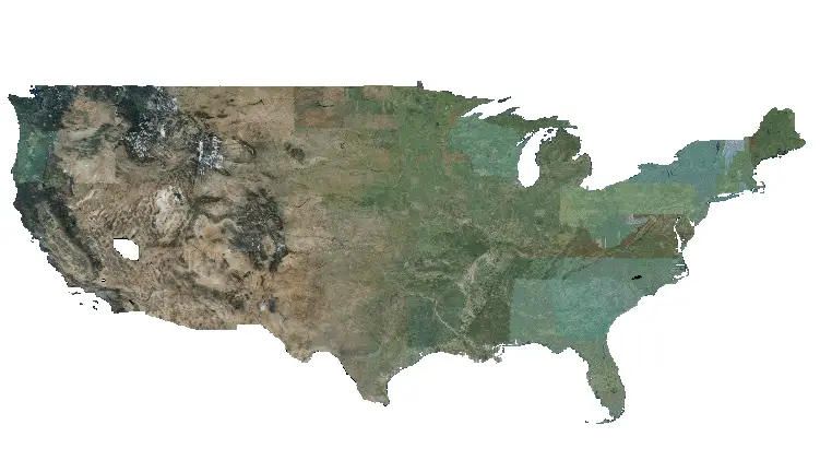
Lidar data is awesome! It has so many great uses and produces some amazing visualizations. But it’s not without its problems. Mainly, lidar data can be difficult to work with because file sizes are so large. This means that point clouds are usually tiled and if the area you’re interested in overlaps multiple tiles then…
8 Ways to Create (Initialize) Pandas Data Frames
| | |

8 Ways to Create (Initialize) Pandas Data Frames

One of the key tasks for data scientists and computer programmers is to read, write, organize, and manipulate data. Perhaps the most intuitive format in which these data are stored is the tabular format. This format organizes data into tables, which are also commonly referred to as data frames or spreadsheets. Because of data, programs…

How to Download Landsat and Sentinel Images for Free
| |

How to Download Landsat and Sentinel Images for Free

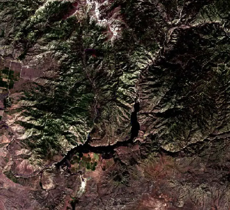
Satellite images are important data sources for many remote sensing and GIS analyses. Today many different satellites circle the globe and collect various image types. Images from many of these satellite platforms are available free of charge. This tutorial will demonstrate how to download images from the Landsat (Landsat 9) and Sentinel (Sentinel 2) satellites…

How to Download Lidar DEMs (Digital Elevation Models) and Point Clouds from the USGS

How to Download Lidar DEMs (Digital Elevation Models) and Point Clouds from the USGS

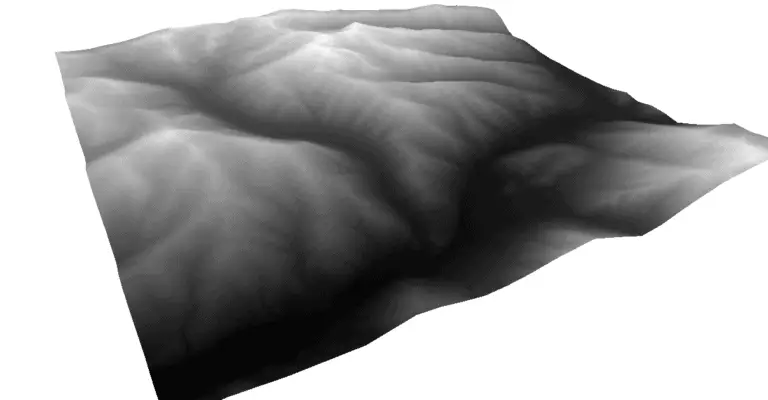
Lidar point clouds and DEMs are very useful in many applications and these data are becoming more readily available. In the next few years, it is expected that there will be lidar coverage for all of the contiguous United States. Lidar is already available for large portions of the lower 48. Available lidar DEMs and…