Open Rasters in Python without Downloading
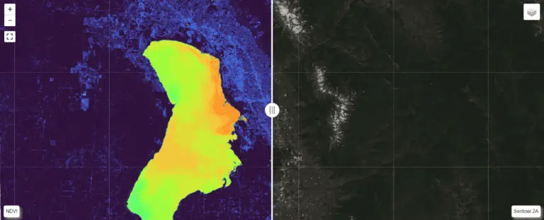
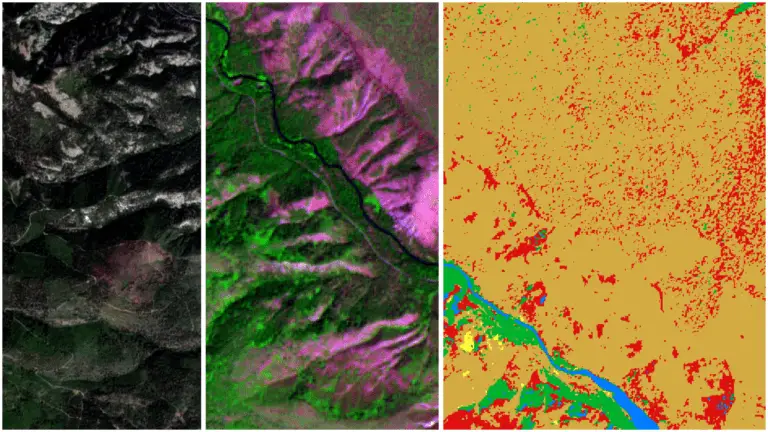
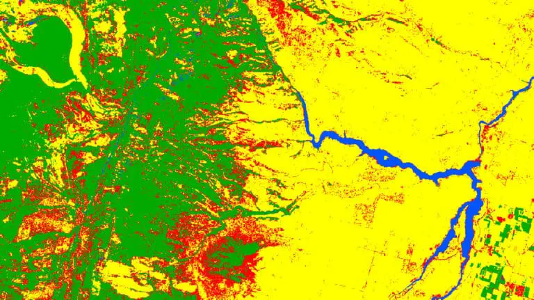
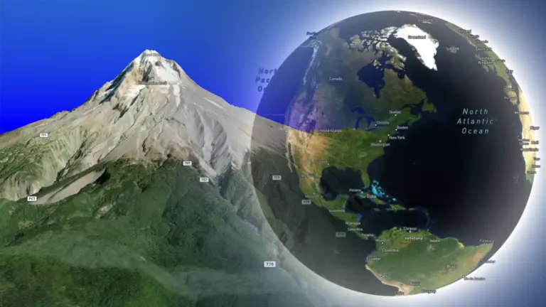
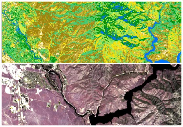
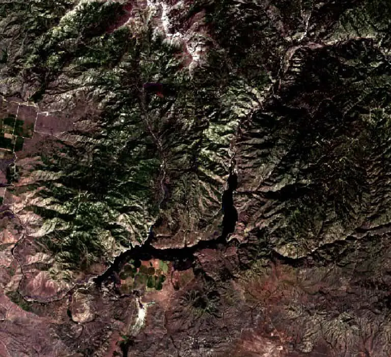
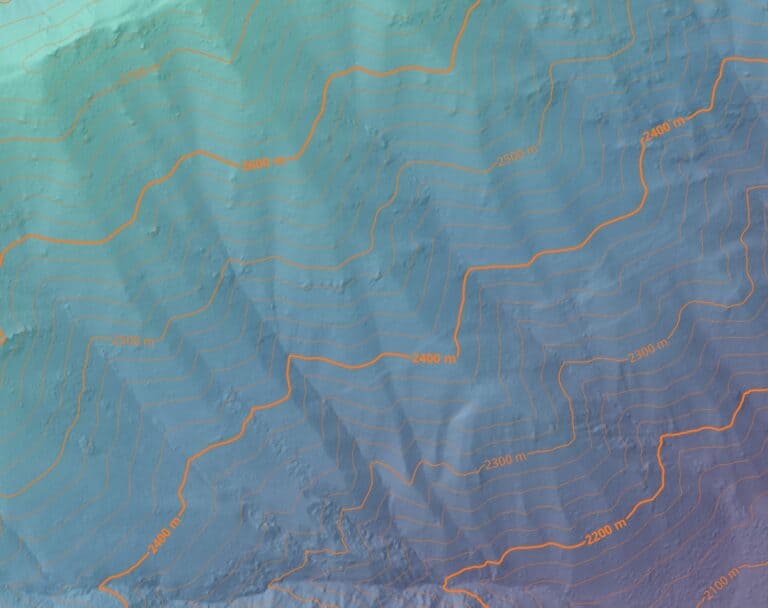
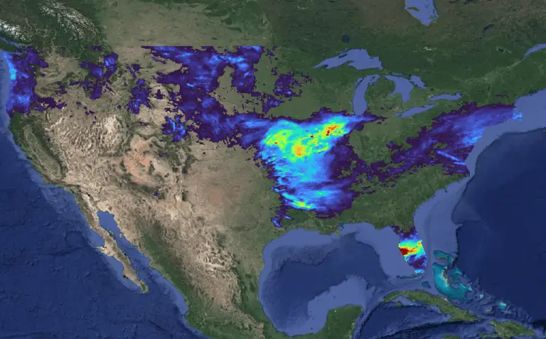
There is so much raster data hosted on the web. We have access to nearly endless imagery and elevation datasets. While these data are exceptionally rich and useful, they can produce a problem of their own. The downsides of raster data Data requires storage. And storage gets messy. It’s inevitable that we’re going to download…