GDAL | Image Analysis | numpy | Python | Remote Sensing
Python: Geographic Object-Based Image Analysis (GeOBIA) – Part 2: Image Classification
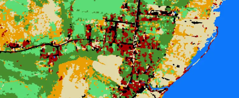
Use the random forests algorithm to classify image segments into land cover categories. This post is a continuation of Geographic Object-Based Image Analysis (GeOBIA). Herein, we use data describing land cover types to train and test the accuracy of a random forests classifier. Land cover data were created in the previous post. Step-be-step video instructions…