PyQGIS: Dissolve Vector Features with Python and QGIS
|

PyQGIS: Dissolve Vector Features with Python and QGIS

The QGIS Python API (PyQGIS) makes it really simple automate a feature dissolve. PyQGIS gives access to all the QGIS processing tools directly from the Python interface. This tutorial will demonstrate three different dissolve examples with Python in QGIS. Basic Dissolve with Python First, lets dissolve polygon features into a single polygon, this is the…

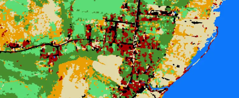
Python: Geographic Object-Based Image Analysis (GeOBIA) – Part 2: Image Classification
| | | |

Python: Geographic Object-Based Image Analysis (GeOBIA) – Part 2: Image Classification

Use the random forests algorithm to classify image segments into land cover categories. This post is a continuation of Geographic Object-Based Image Analysis (GeOBIA). Herein, we use data describing land cover types to train and test the accuracy of a random forests classifier. Land cover data were created in the previous post. Step-be-step video instructions…