How to Make a False-Color Satellite Image in QGIS
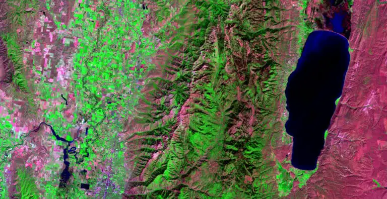
False-color satellite images can be very useful to visually analyze different landscape characteristics. They also look really cool and are used to make very artistic maps and displays. False-color satellite images are created by displaying different band combinations with different colors. For example, a color near-infrared image is created by displaying data from the near-infrared…