The Correct Way to Generate Random Numbers in Python with NumPy
Random number generation is a common programming task that is required for many different programs…
Setup Anaconda (Python) to Work With Visual Studio Code on Windows
Visual Studio Code and Anaconda are powerful tools for Python developers. However, if you are…
How to Add Basemaps in QGIS
QGIS only has one basemap that is included by default, Open Street Map. However, QGIS…
How to Pass Arguments to a Python Script from the Command Line
10 Ways to Initialize a Numpy Array (How to create numpy arrays)
5 Easy Ways to Iterate Through a Python List or Tuple
Read and Plot NetCDF Data in Python with xarray and rioxarray
QGIS Tutorial for Beginners
How to Use numpy.where() in Python with Examples
npwhere ¶ The where function from numpy is a powerful way to vectorize if/else statements…
Install rasterio For Windows With pip or conda
How to Add Google Satellite Imagery and Google Maps to QGIS
QGIS is a very powerful and customizable software. However, one of its shortcomings is that…
How to Install or Update QGIS
QGIS is an amazingly powerful, free GIS software. In my opinion, it’s the best free…
How to Create a DEM (or Raster) from a Lidar Point Cloud
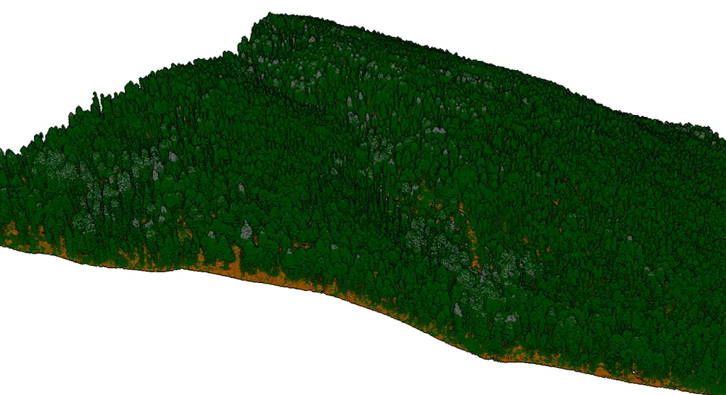
Lidar data are 3D point clouds that can describe Earth’s surface in great detail. However,…
Install PDAL for Python with Anaconda
The Point Data Abstraction Library (PDAL) is a powerful, open-source tool designed to work with…
How to Install Anaconda for Python
Anaconda is a Python distribution with additional tools to make it easy to manage Python…
Free Satellite Imagery Basemap for QGIS (United States)
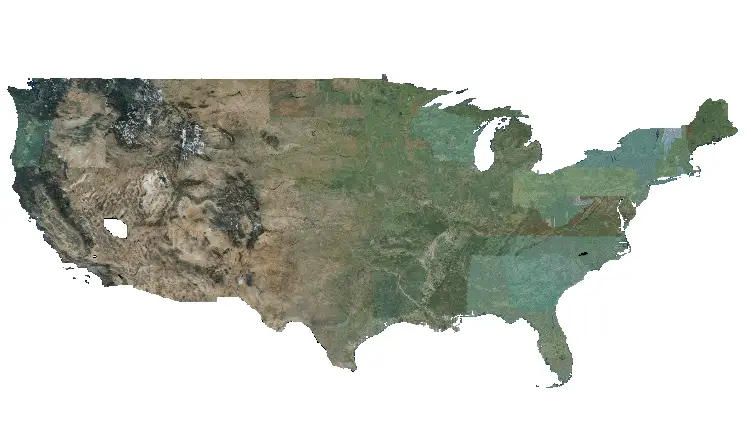
The only basemap available with QGIS is Open Street Map. Open Street Map is a…
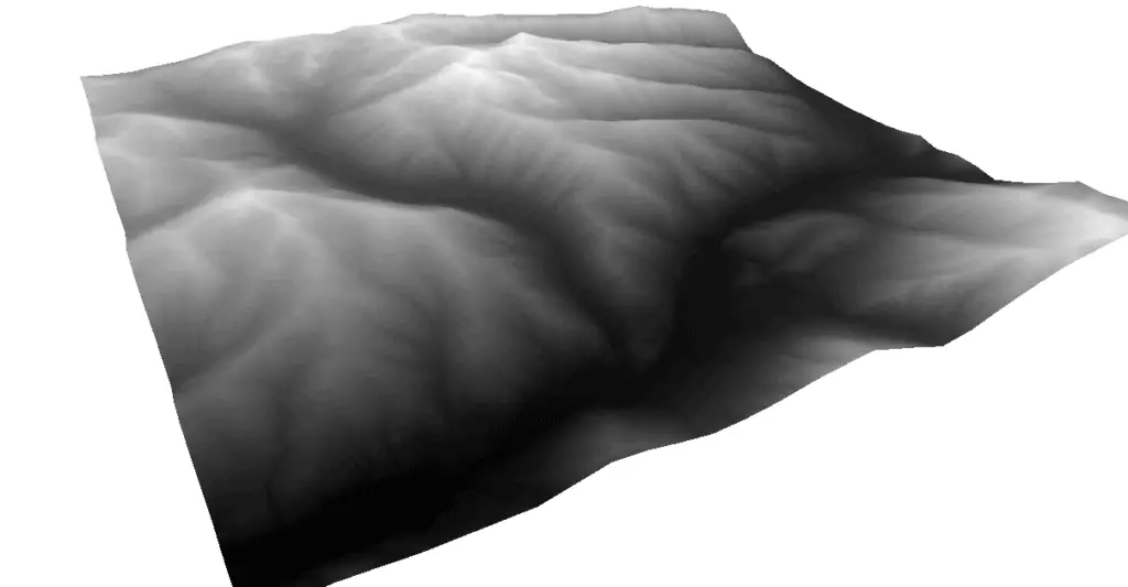
Use QGIS 3D View to Create 3D Maps and Visualizations
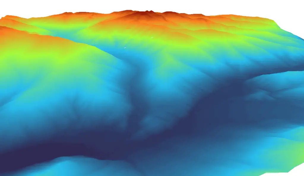
Many types of geographical data represent 3-dimensional features. Displaying these data in compelling visualizations can…
How to Download Lidar DEMs (Digital Elevation Models) and Point Clouds from the USGS
Lidar point clouds and DEMs are very useful in many applications and these data are…
How To Run Python Scripts From the Command Line (Terminal)
Creating Python scripts that can be run from the command line makes it much easier…
How to Check if NumPy is Installed and Find Your NumPy Version
The numpy Python module is widely used for many different analyses and as a dependency…
How to Install GDAL for Python with pip on Windows
Installing GDAL for Python with pip , the package installation package, is not as easy…
How To Install GDAL for Python with Anaconda
The Geospatial Data Abstraction Library (GDAL) is a fundamental package for spatial analysis with Python….
PyQGIS: Perform a Spatial Join with the QGIS Python API
Just as spatial joins can be performed in QGIS with the Join Attributes by Nearest…
Spatial Joins with QGIS Using the “Join Attributes by Nearest” Tool
A spatial join is operation performed on spatial vector data that links the attributes of…
Calculate Geometry in QGIS: How to calculate line length, polygon area, and polygon perimeter
For many GIS analyses, it is necessary to calculate the length, area, or perimeter of…
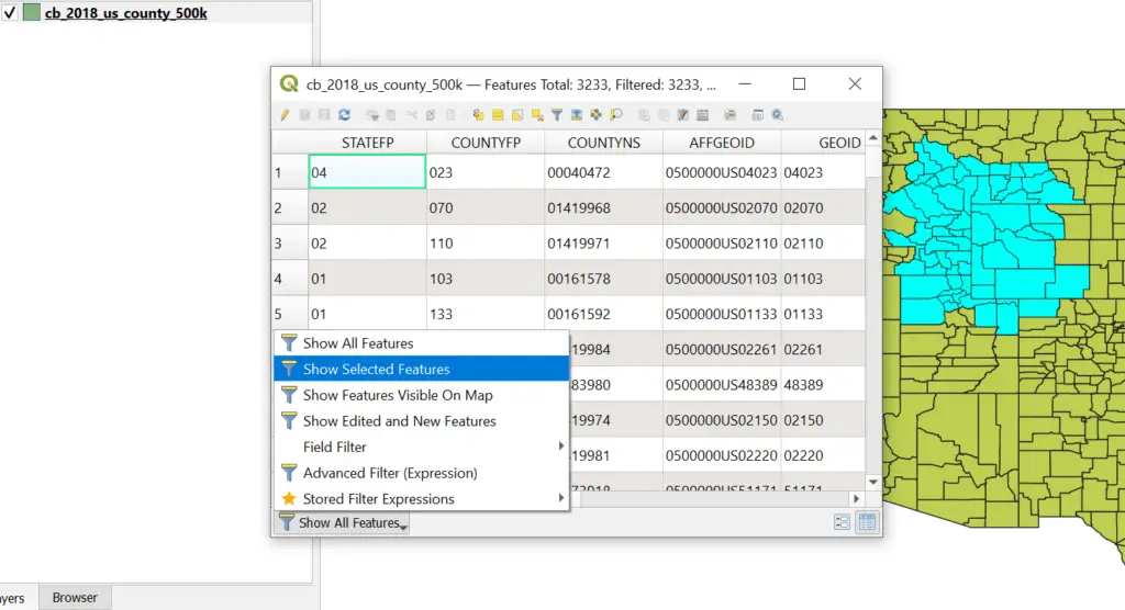
Show Only Selected Features in a QGIS Attribute Table
Attribute tables display information about geographic features and are an essential element of any GIS….
How to Find the Shape of a Nested List or Tuple in Python
Finding the shape of a nested list or tuple is much more complicated than finding…
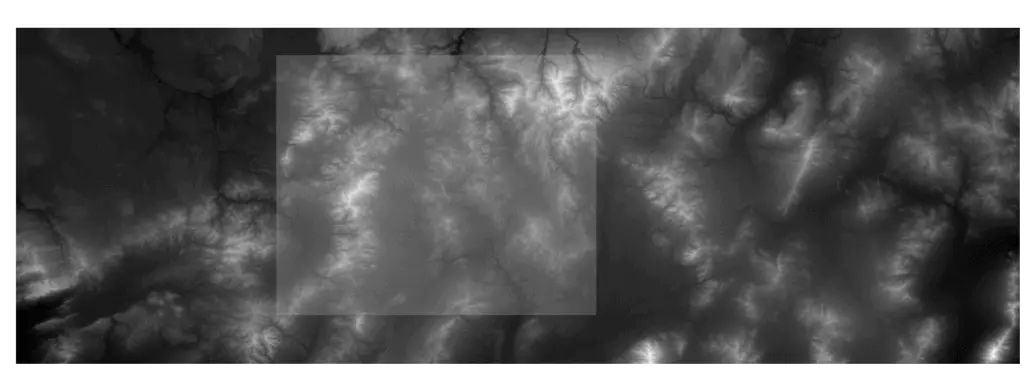
QGIS: Clip a Raster Layer to an Extent
Clipping raster layers is a basic operation in many GIS workflows. Since rasters often cover…
Merge Multiple Rasters in QGIS (Create a Raster Mosaic)
With GIS analysis it’s a common occurrence that multiple raster tiles are required to cover…
Sort NumPy Arrays By Columns or Rows
NumPy is a fundamental module used in many Python programs and analyses because it conducts…
