How to Download Lidar DEMs (Digital Elevation Models) and Point Clouds from the USGS
Lidar point clouds and DEMs are very useful in many applications and these data are becoming more readily available. In the next few years, it is expected that there will be lidar coverage for all of the contiguous United States. Lidar is already available for large portions of the lower 48.
Available lidar DEMs and point clouds for the United States can be seen and downloaded from the USGS National Map Viewer. The National Map viewer shows where data are available and allows for the download of both lidar DEMs and point clouds. This article demonstrates how to download lidar data from the USGS National Map.
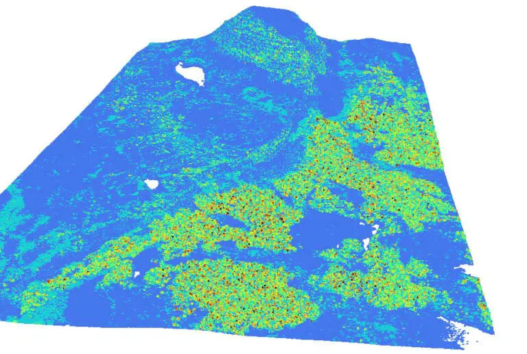
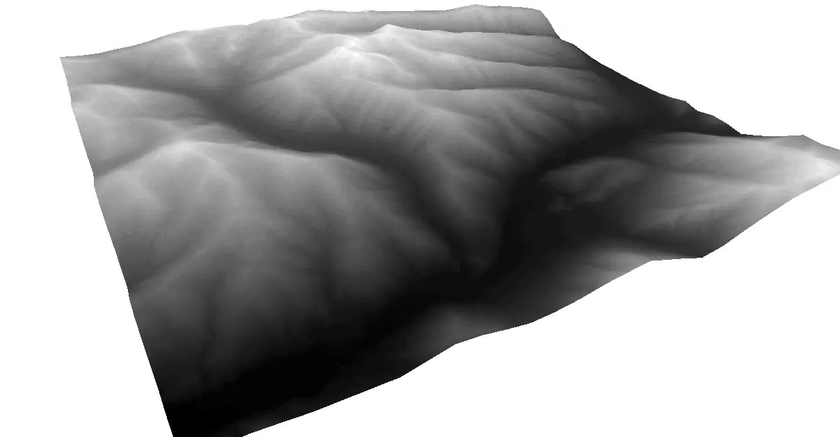
Lidar DEMs and point clouds also look really cool when displayed in 3D. Once you’ve downloaded some data, check out this article to learn how to display your 3D data in QGIS.
Find an Area of Interest on the National Map Downloader
Navigate to the National Map Downloader (https://apps.nationalmap.gov/downloader/#/). This is the USGS web map application that facilitates downloading data. At the time this article was written, 1-meter DEMs were only available for portions of the United States. However, in the next few years, the USGS should have lidar data for the entire nation.
Once you have arrived at the National Map, select ‘Elevation Products (3DEP)’ in the left pane. Then select ‘1 meter DEM’. Make sure no other options are selected. Then below the 1 meter DEM checkbox click the link to ‘Show’. This will pull up brown polygons that show where 1 meter DEMs are available (see image below for example).
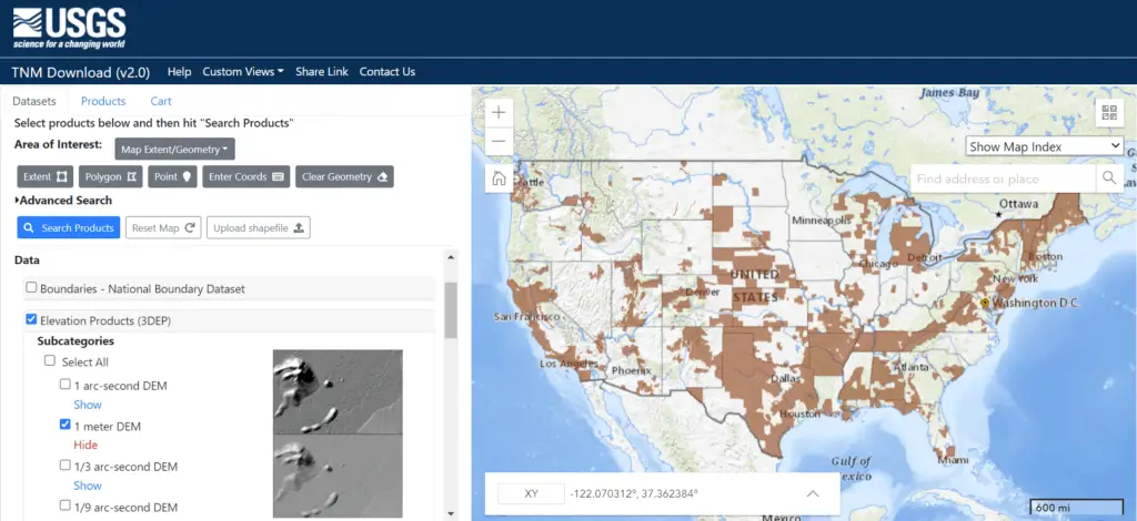
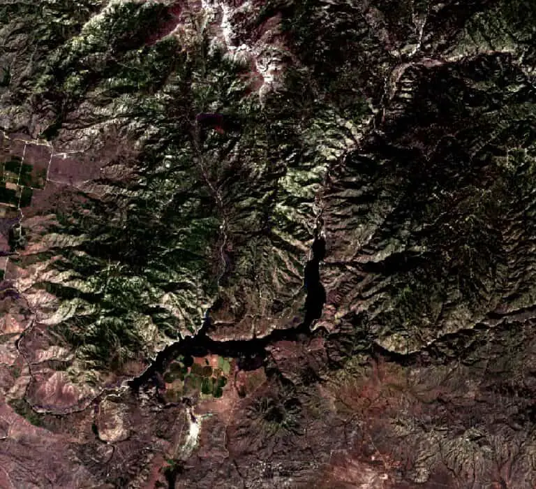
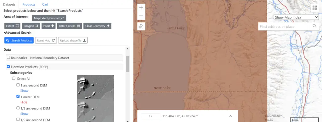
Identify an area of interest where data exist and zoom in. Here I’m zoomed into the data in the southeastern corner of Idaho.
Find Available Products
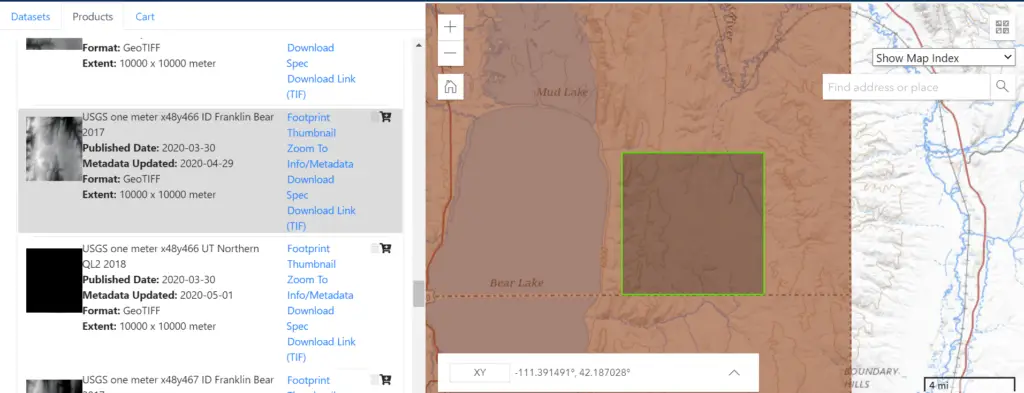
Once you are zoomed in to the desired area of interest, click the blue, ‘Search Products’ button to bring up the DEMs available for that area of the map. It will take just a minute for the available products to load. Once loaded you will see individual products listed in the pane on the left side of the screen.
The pane on the left of the screen displays a thumbnail preview and information about each available product. As you hover your cursor over a product its footprint will show on the map. You can also click the links associated with a product for more information. Note that each footprint has multiple products associated with it and some have DEMs from different dates.
Download a USGS Lidar DEM
Once you have identified a product you wish to download, simply click the link title ‘Download link (TIF)’ to download a GeoTiff containing the elevation data. These files contain a lot of information and are not small, so expect to wait a few minutes for the download to complete.
After your file has been downloaded you can view and interact with it in GIS software like QGIS or ArcMap/ArcPro. Note that you may have to do a little processing for the data to display how you would like.
That’s it. Hopefully, you now have a DEM to work with!
Downloading Lidar Point Clouds
Lidar point clouds can be downloaded in almost the same manner as lidar DEMs.
In the National Map Viewer/Downloader make sure the ‘Datasets’ tab is active. This is the tab where you can select different data products. If you are currently on the ‘Products’ tab just click ‘Datasets’ to navigate back.
Once you are on the ‘Datasets’ tab, select ‘Elevation Source Data (3DEP) – Lidar, IfSAR’. Then select the subcategory for ‘Lidar Point Cloud (LPC)’. Now click the ‘Show’ link to show where the data are available on the map.
From here you can follow the directions above to identify a specific area and download the data for that area.
Conclusion
Lidar data is quickly becoming more and more available for many areas in the United States and worldwide. The USGS National Map Viewer/Downloader is a great tool to see where lidar data are available and to download small quantities of lidar data (both DEMs and point clouds). If you are looking to download lidar data over larger extents you would probably benefit from looking for other options on the 3DEP website.
Video
The video below gives a visual demonstration of how to download USGS lidar DEMs and point clouds.