Vectorize Moving Window Grid Operations on NumPy Arrays
| |

Vectorize Moving Window Grid Operations on NumPy Arrays

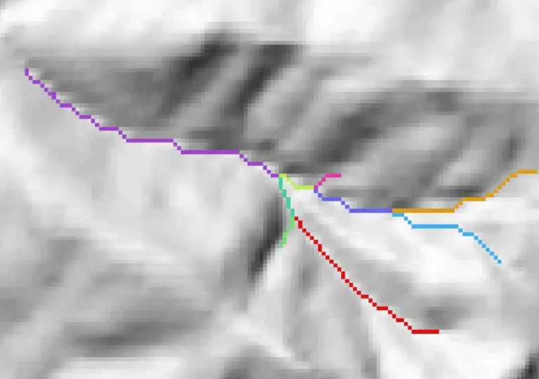
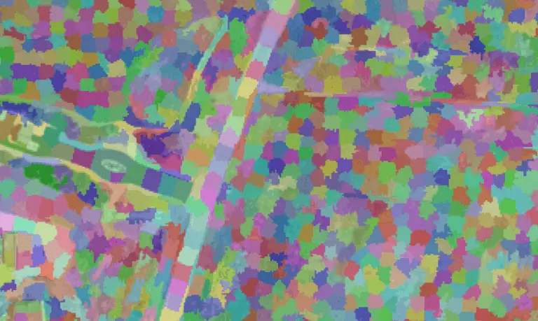
There’s a good chance you’ve done something today that used a sliding window (also known as a moving window) and you didn’t even know it. Have you done any photo editing? Many editing algorithms are based on moving windows. Do you do terrain analysis in GIS? Most topographic raster metrics (slope, aspect, hillshade, etc.) are…

Use Python to Convert Polygons to Raster with GDAL.RasterizeLayer
|

Use Python to Convert Polygons to Raster with GDAL.RasterizeLayer

When you work with spatial data it’s inevitable that you will need to implement information from both a vector and raster data source for the same location. This task can easily be accomplished manually, but it often becomes quite cumbersome when the process must be automated across a large number of features, time periods, and/or…

Zonal Statistics Algorithm with Python in 4 Steps
| | |

Zonal Statistics Algorithm with Python in 4 Steps

It is a common need to summarize information from a gridded dataset within an irregularly shaped area. While at first glance this may seem simple, reconciling differences between raster (gridded) and vector (polygon) datatypes can quickly become complicated. This article shows how to implement a zonal statistics algorithm in Python in 4 steps. Load raster…

Create NetCDF Files with Python
|

Create NetCDF Files with Python

Gridded, spatial data are commonly stored in NetCDF files. This is especially true for climate data. NetCDF files offer more flexibility and transparency than some traditional raster formats by supporting multiple variables and detailed metadata. Because of the metadata and file structure NetCDF files can be more difficult to access than traditional raster formats. This…

Unsupervised Land Cover Classification with Python
| | |

Unsupervised Land Cover Classification with Python

Aerial imagery is used for purposes ranging from military actions to checking out the backyard of a house you might buy. Our human brains can easily identify features in these photographs, but it’s not as simple for computers. Automated analysis of aerial imagery requires classification of each pixel into a land cover type. In other…

Parallel Programming in Python with Message Passing Interface (mpi4py)
| | | |

Parallel Programming in Python with Message Passing Interface (mpi4py)

Did you know you can write parallel Python code that will run on your laptop and on a super computer? You can, and it’s not as difficult as you might expect. If you already write code for asynchronous parallelization then you won’t even have to do much restructuring. High Performance Computing (HPC) distributes pieces of jobs across…

Asynchronous Parallel Programming in Python with Multiprocessing
| |

Asynchronous Parallel Programming in Python with Multiprocessing

A flexible method to speed up code on a personal computer Do you wish your Python scripts could run faster? Maybe they can. And you won’t (probably) have to buy a new computer, or use a super computer. Most modern computers contain multiple processing cores but, by default, python scripts only use a single core….

Python: Geographic Object-Based Image Analysis (GeOBIA) – Part 2: Image Classification
| | | |

Python: Geographic Object-Based Image Analysis (GeOBIA) – Part 2: Image Classification

Use the random forests algorithm to classify image segments into land cover categories. This post is a continuation of Geographic Object-Based Image Analysis (GeOBIA). Herein, we use data describing land cover types to train and test the accuracy of a random forests classifier. Land cover data were created in the previous post. Step-be-step video instructions…

Python: Geographic Object-Based Image Analysis (GeOBIA) – Part 1: Image Segmentation
| | | |

Python: Geographic Object-Based Image Analysis (GeOBIA) – Part 1: Image Segmentation

This tutorial will walk you through segmenting and classifying high resolution imagery using Python. Part 1 of this tutorial teaches how to segment images with Python. After you have completed Part 1, Part 2 will teach how to use machine learning methods to classify segments into land cover types with Python. YouTube videos give step-by-step…

|

PyQGIS: Shapefile from Selected Features

A common operation with vector layers is to select features based on attribute values and save those features to a new vector layer (i.e. shapefile). This tutorial will walk you through how to create a new shapefile from selected features. We’ll select some features, then save those features to a new shapefile. First, we’ll open…

|

PyQGIS: Create Raster

In a previous tutorial I showed you how to access raster values and data with the Geospatial Data Abstraction Library (GDAL). This tutorial will show you how to create a raster with GDAL. Start by importing the gdal and osr Python modules. The osr module is used for handling spatial references. Also import numpy. Now…

|

numpy: Methods For Creating Arrays

It is tedious, and not practical, to manually type in values for array creation. In this tutorial we will go through methods for automating array creation and importing tabular data into numpy arrays. Creating empty arrays With numpy you don’t actually create an ‘empty’ array. But you can create an array without intializing specific values. This can be useful…

|

numpy: Array shapes and reshaping arrays

We’ve gone through the basics to manually create arrays of different dimensions and shapes. There will be times that you will want to query array shapes, or automatically reshape arrays. This tutorial will show you how to use numpy.shape and numpy.reshape to query and alter array shapes for 1D, 2D, and 3D arrays. Different methods are required to find…

|

numpy: Creating Arrays

Creating a simple array After numpy is installed, we can begin to create arrays. First, we’ll need to import numpy into our python project. Here I use the statement, import numpy as np, to limit my typing later. This code will allow me to use np in my script to represent instead of typing the full numpy everytime. Then, we can create a simpy…

|

numpy: Install numpy

Check Installation First, check to see if you already have numpy installed. From the terminal, you can use pip to do this. If numpy is installed you will get output similar to this. If numpy is not installed no output will be shown. Install numpy numpy can be installed simply using pip. Check version You can check the numpy version using pip show as demonstrated above. Video tutorial This…

|

numpy: Introduction to numpy

Requirements: Python version 2.7 or greater Beginner skills with python Desire to learn numpy Objectives: Teach the basics of using numpy in python Provide data science applications of numpy Introduce advanced numpy concepts What is numpy? numpy is a powerful python package for handling arrays. It uses C libraries to optimize procedures that would otherwise be slow/computationally expensive in python. What can I do…

|

PyQGIS: Loading and symbolizing raster layers

More information can be found in the PyQGIS Developer Cookbook. Requirements QGIS version 3.0, or greater Objectives Load and symbolize a raster layer with pyqgis Get statistics from a raster band Open the QGIS Python Console From the menu, select Plugins -> Python Console, or Ctrl + Alt + P (Windows) You can type directly into…